Small bird – Kleiner Vogel

Mitsinjo, Madagascar/Madagaskar

Chã das Caldeiras

The island of Fogo (fire) is a single giant volcano rising from the Atlantic Ocean. Once, it had been more than 4.000 m high, but 73.000 years ago its eastern flank collapsed into the sea, leaving a huge caldera at an altitude of around 1.700 m. Since then, regular outbreaks (at least one or two every century) created new volcanic cones inside the caldera, among them Pico de Fogo, with 2.829 m the highest mountain in Cape Verde, and it is said, that it might also be one of the steepest volcanos on the planet. In April 1995, an outbreak with a massive lava flow destroyed huge parts of the cultivated landscape as well as the road leading to Portela, the village inside the caldera, and its inhabitants had to be evacuated. The next outbreak in 2014 came with another lava flow that destroyed most of Portela as well as the neighbouring community of Bangaeira. But little by little, the people are coming back, building new houses amidst the black chunks of lava, frozen in time, and growing wine and fruits again. The soil is just too fertile to not use it. Continue…

Die Insel Fogo (Feuer) ist ein einziger riesiger Vulkan, der aus dem Atlantik ragt. Einst ist der über 4.000 m hoch gewesen, doch vor ungefähr 73.000 Jahren ist seine östliche Seite eingebrochen, ins Meer gestürzt, und zurück blieb eine gigantische Caldera auf etwa 1.700 m Höhe. Seither haben regelmäßige Ausbrüche (mindestens ein oder zwei pro Jahrhundert) neue Vulkankegel in der Caldera entstehen lassen, darunter der Pico de Fogo, mit 2.829 m die höchste Erhebung der Kapverden, von dem es heißt, dass er einer der steilsten Vulkane der Erde sei. Im April 1995 zerstörte ein Ausbruch mit seinem Lavastrom große Teile der Kulturlandschaft und die Straße, die durch die Caldera nach Portela führte, die einzige Siedlung, deren Bewohner evakuiert werden mussten. Der nächste Ausbruch 2014 brachte einen weiteren Lavastrom, der Portela und die Nachbargemeinde Bangaeira größtenteils zerstörte, aber Stück für Stück kehren die Menschen zurück, bauen neue Häuser mitten in und auf den eingefrorenen schwarzen Lavabrocken und bauen wieder Wein und Früchte an. Der Boden ist einfach zu fruchtbar, um ihn nicht zu nutzen. Weiterlesen…

Madagascar green pigeon – Madagaskar-Grüntaube

Bobangira, Madagascar/Madagaskar

São Filipe

São Filipe is the capital of the volcanic island of Fogo and behind Cidade Velha on Santiago the second oldest settlement in Cape Verde, founded in the 16th century. It is located on the west coast of the island with a small airport on the edge of town as well as the port Vale de Cavaleiros four kilometres north of the centre. The fertile volcanic soil of the island is used to grow wine, coffee, fruits and vegetables, and tourism is also playing a vital role in Fogo’s economy. Continue…

São Filipe ist die Hauptstadt der Vulkaninsel Fogo und nach Cidade Velha auf Santiago die zweitälteste Siedlung der Kapverden, gegründet im 16. Jahrhundert. Die Stadt liegt an der Westküste der Insel mit einem Flughafen an der Peripherie und dem Hafen Vale de Cavaleiros nur vier Kilometer nördlich des Stadtzentrums. Im fruchtbaren vulkanischen Boden gedeihen Rebstöcke, Kaffeesträucher, Früchte und Gemüse, und auch der Tourismus spielt eine wesentliche Rolle für Fogos Wirtschaft. Weiterlesen…

Matoke market – Matoke-Markt

Kisoro, Uganda

Topi

Queen Elizabeth National Park, Uganda

Fishing – Fischen

Western Madagascar/Madagaskar

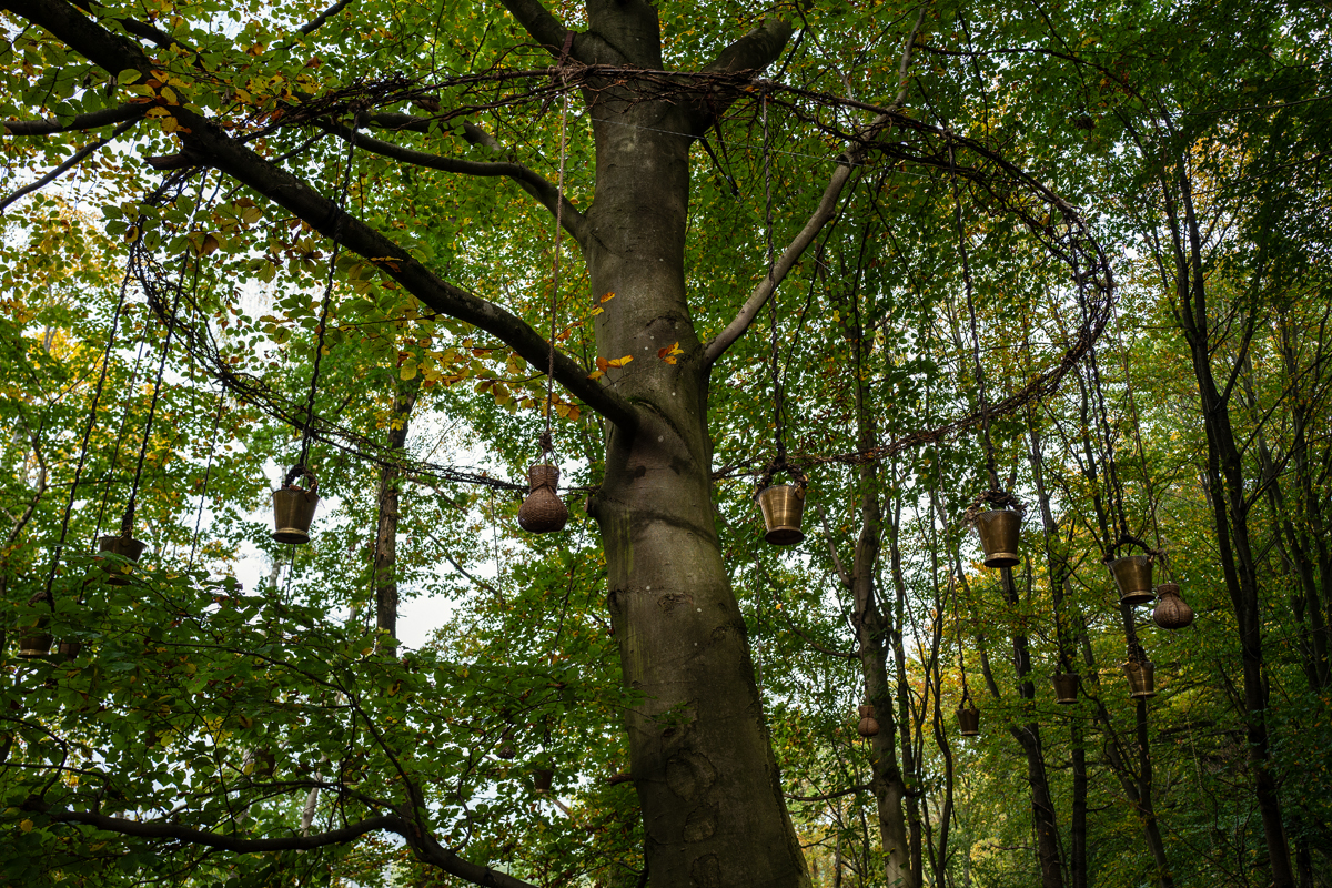
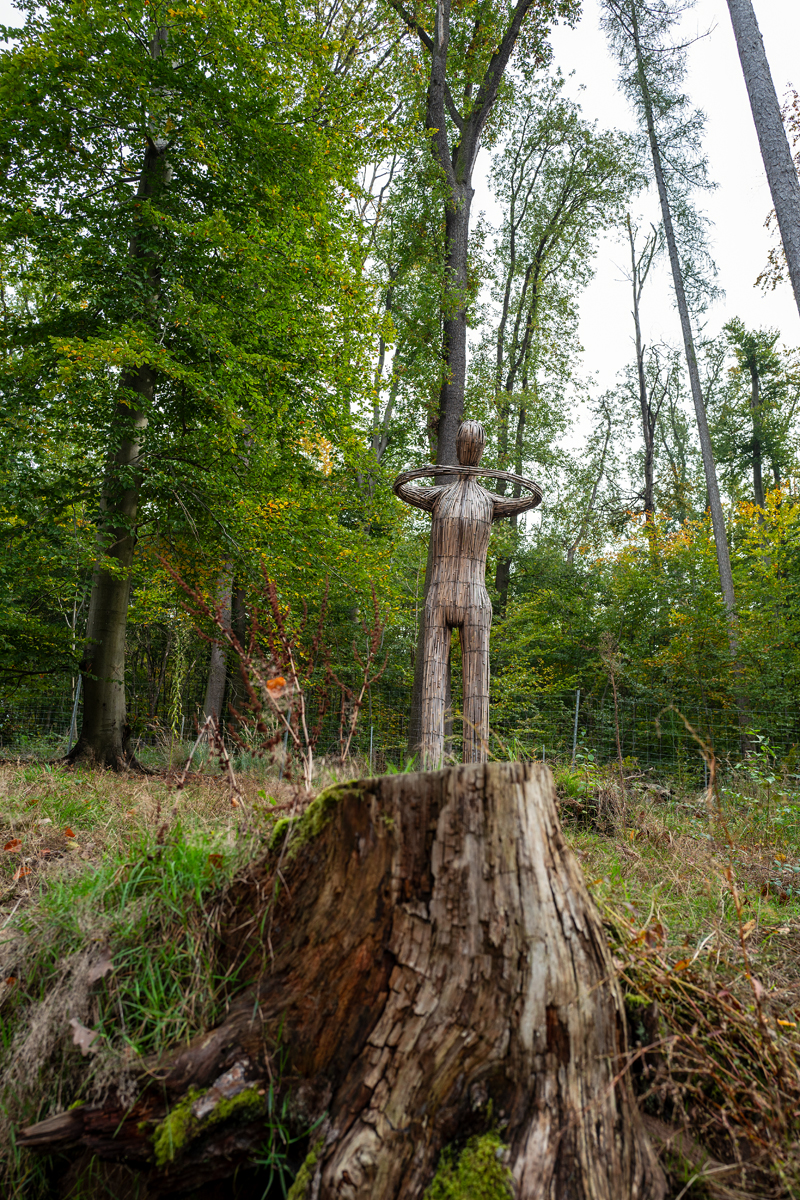
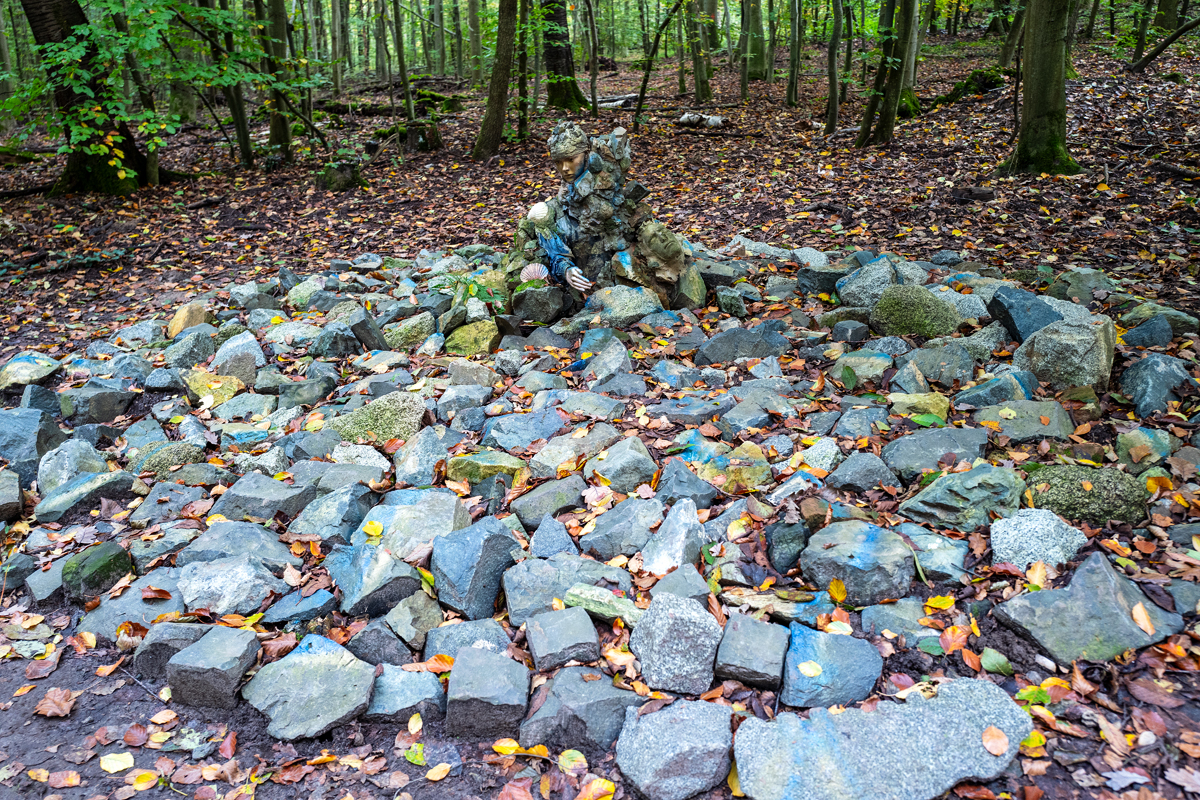
12. Internationaler Waldkunstpfad

In diesem Jahr hat das Internationale Waldkunstzentrum (Verein für Internationale Waldkunst e.V.) in Darmstadt den Waldkunstpfad von internationalen Künstlern zum Thema „Kunst Natur Wasser“ gestalten lassen.

The rice people – Leben für Reis

Madagascar/Madagaskar

Calheta

Calheta is located at the west coast of Maio and with more than 1.000 inhabitants the second-largest settlement on the island. It consists of two different villages, Ribona a bit inland and Baxona right at the sea. Most of the people live in Ribona where there are at least half a dozen informal bars, a shop and a cooperative of artisans selling their crafts on the spot as well as to tourist information offices and other distributors on Maio and Santiago. The traditional architecture is spiced up with colourfully painted facades glowing in the hot midday sun, when there are more animals out on the streets than people. Continue…

Calheta liegt an der Westküste von Maio und ist mit mehr als 1.000 Einwohnern die zweitgrößte Siedlung der Insel. Es besteht aus zwei verschiedenen Dörfern, zum einen Ribona landeinwärts, zum anderen Baxona, das direkt am Meer liegt. Der überwiegende Teil der Bewohner lebt in Ribona, wo es neben mindestens einem halben Dutzend informeller Bars auch einen Shop und eine Kooperative von Kunsthandwerkern gibt, die ihre Stücke entweder direkt vor Ort an Touristen oder an touristische Informationszentren und andere Händler auf Maio und Santiago verkaufen. Die traditionelle Architektur wurde aufgepeppt durch knallbunt gestrichene Fassaden und farbenfrohe Wandgemälde, die in der heißen Mittagssonne leuchten, wenn mehr Tiere als Menschen auf den Straßen unterwegs sind. Weiterlesen…