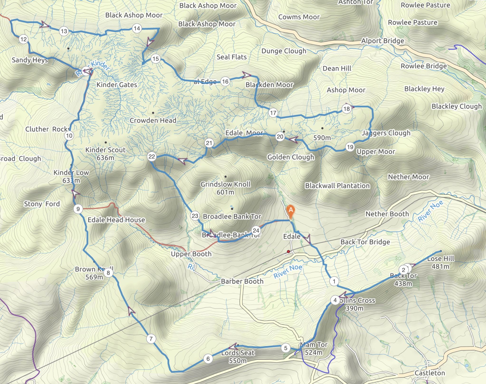
This two day walk started from Bampton, where it is possible to park at the Memorial Hall for a modest donation – Overnight parking options in the Lake District are very limited, and this opened up a walk to joining the Roman Road of ‘High Street’, onwards to the eponymous peak and the surrounding fells.

Day 1 – Bampton to Kentmere Pike : 12 miles / 930 m HG
Different from most launch points in the Lakes, this walk starts over farmland and offered an easy shallow gradient ascent up to the 670 m Wainwright of Wether Hill. I wanted to go for a two day walk in the East of the Lake District because the ground is easier on the feet than the preponderance of exposed rock one finds in the West of Cumbria. Whilst Wether Hill is nothing remarkable in itself, as soon as you reach the top a view over to the Helvellyn range suddenly opens up to you.

This view then keeps your company all the way onto the top of High Raise which, today, was awash with people pushing mountain bikes up to the summit. Why one would choose to push a bike to the top of a hill escapes me, when you could more easily walk up without one…
Having woken early to drive up to Cumbria from Lancashire I choose to have an early lunch on High Raise, eating oat cakes and drinking in the view.

With most of the height gain now behind me it was an easy walk along the ridge. Looking West it was possible to see Great Gable poking out from a cloud inversion. The cloud had not yet settled into the nearer Patterdale or over Haweswater.

At the col I got a superb view down Riggindale to the head of Haweswater, which is where I went with Mrs W for her Birthday Walk the previous year

Looking East it was possible to pick out the tracking station on top of Cross Fell, shining pure white in the sunshine. This brought back happy memories too. I was soon on Mardale Ill Bell where I collected my water for the night. Normally I seek out flowing water, but that was not an option here. The stagnant tarn did not look appealing, but I knew in theory (and would find later to be true in practice) that my Sawyer Filter would render it safe to drink.

On Harter Fell I again enjoyed the views, and turned off of the main drag to walk a section of the Kentmere Horseshoe out to Kentmere Pike. The view from Harter Fell had been dramatic…

… So as I walked out towards my planned camping spot my mind was tinged with regret that I had not simply pitched on Harter Fell itself. However, this regret proved unwarranted. Whilst the view that greeting my upon first arrival at Kentmere Pike was only modest, I could not have even dreamed how that was to change as the sun set. I pitched my tent and enjoyed reading my book in the evening sunshine.

Directly after eating dinner the mist started to descend and hover around the tent, but then as the sun dipped below the horizon, the temperature dropped sharply and all the mist rolled off of the fell and pooled in the valleys.

The speed at which is rolled off the hill was something I was blessed and amazed to experience. But more spectacular scenes were about to unfold with one of the finest sunsets I’ve seen in the UK.


Day 2 – Kentmere Pike to Bampton : 14 miles / 280 m HG
I slept soundly for ten hours and awoke to an equally impressive sun rise and clear views over the local cloud inversion.


By 0730 I was back on the trail and loving the views into the cloud blanketed valleys.


My route descended into Mosedale and passed the Mosedale Cottage Bothy, a dwelling originally built to serve the elevated, but now redundant, quarry it sits below.

At this point I still had a further 9 miles to go, but the local scenery was by this stage unimpressive, and then invisible as I descended down into the cloud. Whilst I really enjoyed my walk to this juncture, this route out was less interesting on the ground than it had looked on the map. I wonder if I might have been better simply to go back out the way I came in, or at Gatescarth Pass (NY 473, 093) to drop down to the head of Haweswater and then follow the Coast to Coast path along the West shore of the Haweswater Reservoir?
I got my head down and upped my pace to get back to Bampton in time for a late lunch. Even though the walk-out was a bit of a slog, it had been an excellent weekend, offering great views which were enhanced still further by the spectacular sunset and sunrise over the cloud inversion.

This walk was another chance to use my Atompacks Prospector (Mo) pack which again proved really comfortable and very practical. I’m not like the popular YouTube influencers who change their gear more often than their socks, having put a good deal of thought and life experience into my kit choices, my only recent purchase has been the Atompack. Tried and trusted gear used on this trip included.
Tent – Hilleberg Enan : The best all round solo tent I’ve ever come across.
Stove – Alpkit Koro : A canister gas stove, and thus practical at all temperatures
Water filter – Sawyer Squeeze : Easy to use, easier to backflush than most other models too which bodes well for a long service life. The bags that come with it are very poor, but my substitute one litre HydraPak bladders have proved excellent.
Sleep Mat – Thermarest Prolite Apex : A little bit of luxury and something that allows me to take my sleeping bag beyond it’s theoretical temperature limit.
Sleep Bag – Rab Neutrino 200 : I’ve never owned a bag as well thought out and well made as a Rab, the 200 is good down to 4 C which covers a lot of the UK season in an ultralight package.
Jacket – Paramo Torres Activo : Heavily water resistant, light, packable and good down to 7 C when inactive (like a down puffy jacket but way more practical and machine washable)


 It was fresh and clear on the top, but I needed to press on. Today’s route towards Ribblehead / the foot of Park Fell was new to me. Had it not been frozen solid this would have been a very boggy path indeed. Should I walk this route again I will take the slightly longer route via Pennine Way path which has been ‘improved’. The light was now starting to fail and I needed to decide if it was wise to ascent Park Fell and look for a camping pitch in the dark. The alternative being to stop early and extend Day Two. I knew that the end of Day Two traced the Pennine Bridleway so should be easy to follow (in the dark) so I found a suitably hidden pitch next to Brown Gill Beck. I was too close to farm buildings really, but it was rough ground rather than pasture. Pitching 20 minutes after sunset and leaving at dawn meant no one came to move me on. The view of Park Fell, where I should have been camping, was beautiful in the moonlight.


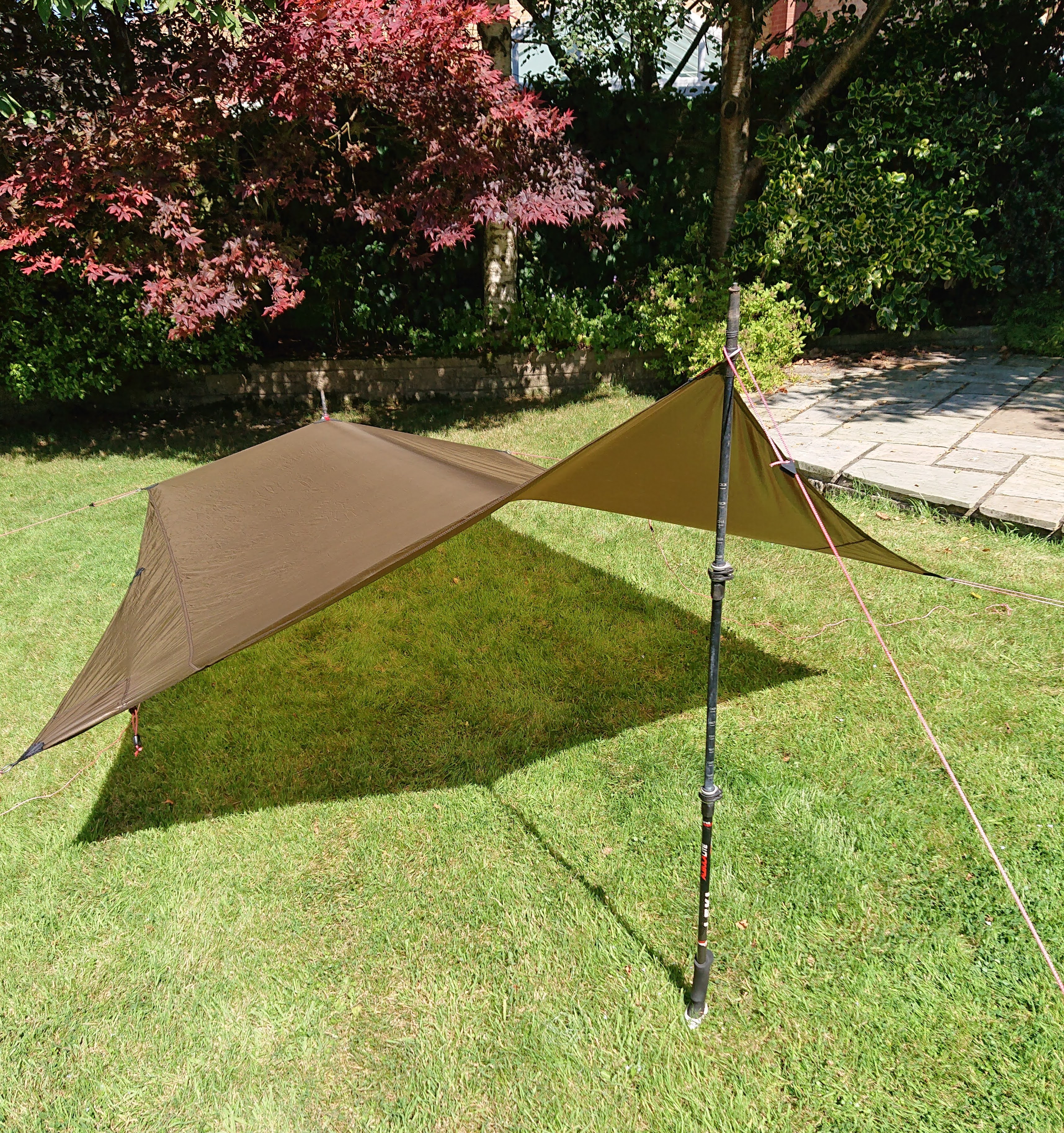
 A game changing feature of the Lofoten is being able to use the door as a tarp which gives you covered space to cook under, so long as the wind is not too strong (≤ 20-25 mph).