Introduction To and Arcaeological Apps of GIS
4 likes1,994 views

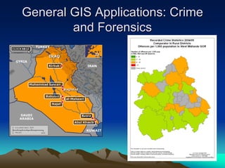
This document introduces GIS (geographic information systems) and its applications in archaeology. It defines GIS as a system that deals with locations and distributions of people, places, and things using databases of information. The document outlines early uses of GIS in archaeology projects in the 1990s and discusses how GIS has been applied to cultural resource management, landscape analysis, and visualization of sites over time. Potential issues with GIS applications include biases introduced by original data and an inability to fully represent temporal or experiential aspects of landscapes.
1 of 44
Downloaded 182 times


More Related Content
What's hot (20)
PPTX
Geographic information system – an introductionObli Rajendran VinodhKumar, ICAR- Indian Veterinary Research Institute, Bareilly Geographic information system – an introductionObli Rajendran VinodhKumar, ICAR- Indian Veterinary Research Institute, Bareilly
Viewers also liked (20)
Ad
Similar to Introduction To and Arcaeological Apps of GIS (20)
Ad
Recently uploaded (20)
PDF
QNL June Edition hosted by Pragya the official Quiz Club of the University of...Pragya - UEM Kolkata Quiz ClubPDF
LAW OF CONTRACT (5 YEAR LLB & UNITARY LLB )- MODULE - 1.& 2 - LEARN THROUGH P...APARNA T SHAIL KUMARQNL June Edition hosted by Pragya the official Quiz Club of the University of...Pragya - UEM Kolkata Quiz Club
LAW OF CONTRACT (5 YEAR LLB & UNITARY LLB )- MODULE - 1.& 2 - LEARN THROUGH P...APARNA T SHAIL KUMAR